ProfeCoins  20
20
20| Cantidad descargas | 13 |
| Tipo de recurso | Evaluación |
| Edad recomendada | 7 - 8 años |
| Info. del archivo | docx, 4 páginas, 698 KB |
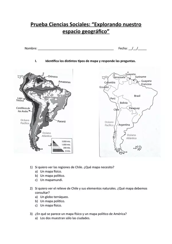
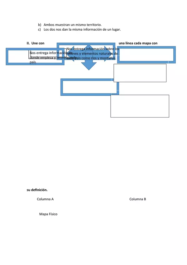
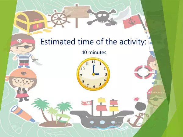
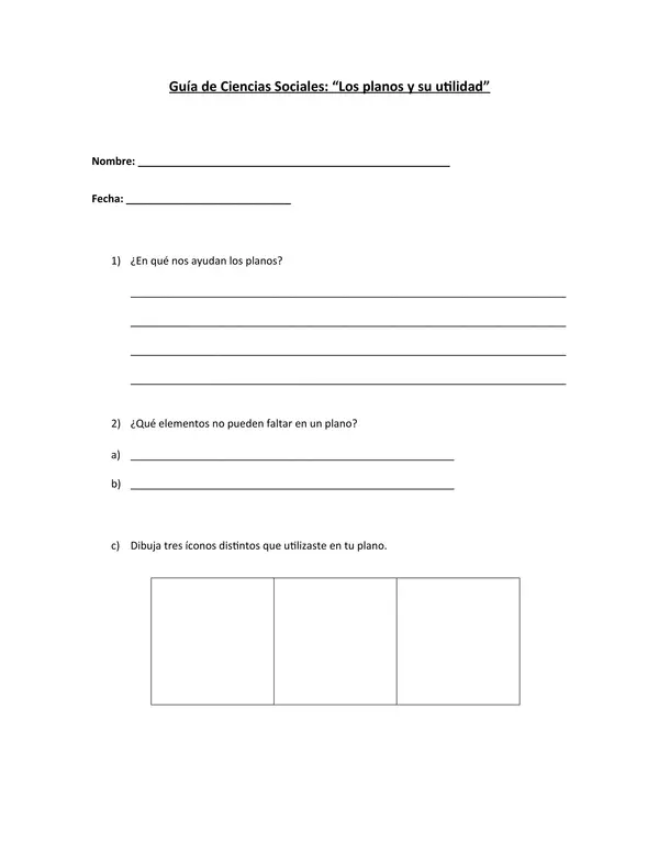
Les comparto una prueba de unidad de Ciencias Sociales para segundo básico.
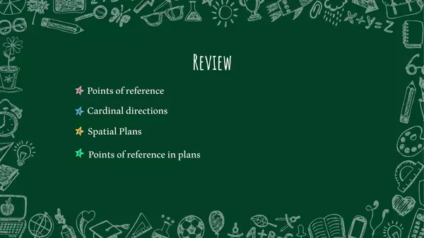
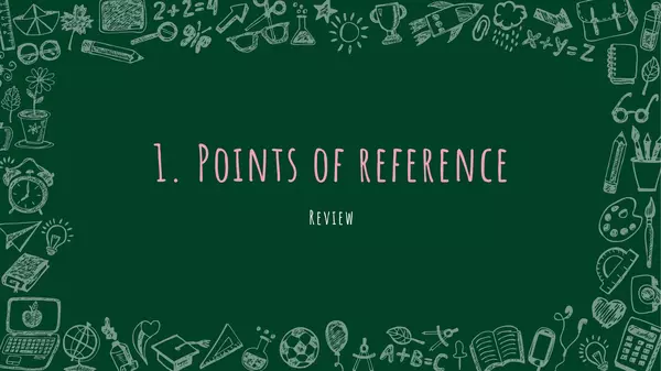
Los contenidos a evaluar son:
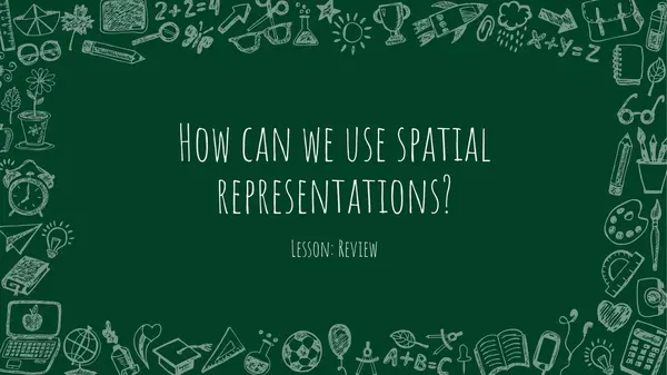
- Tipos de mapas
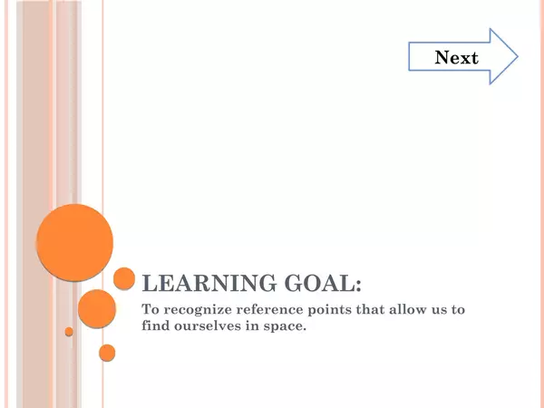
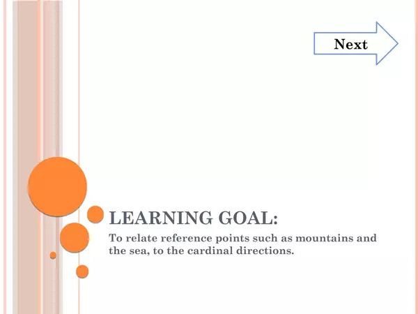
- Puntos cardinales
- Ubicación de Chile en el mapa
- Relieve y geografía chilena
Los contenidos a evaluar son:
- Tipos de mapas
- Puntos cardinales
- Ubicación de Chile en el mapa
- Relieve y geografía chilena


No hay comentarios aún, ¡escribe uno!