ProfeCoins  5
5
| Resource type | Lesson |
| Recommended age | 7 - 8 years |
| File information | pptx, 19 pages, 1.83 MB |
You can use this interactive PowerPoint either for distance learning or for face-to-face ones, especially if you've got a smartboard.
Some of the instructions are in Spanish, as some adults at home may have a hard time with English.
Learning Goal: To relate reference points such as mountain ranges, hills, and seas, to the cardinal directions.
This PowerPoint is the second of the series "How can we use spatial representations?"
See the other PowerPoints of the series here:
- Points of reference
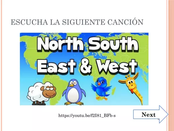
- Cardinal directions (This resource)
- Spatial Plans
- Points of reference in plans
- How can we use spatial representations? Review
This resource greatly works with the book: 2 primary Social Sciences - Savia
There are no comments yet, write one yourself!