
ProfeCoins  5
5
5| Downloads count | 1 |
| Resource type | Lesson |
| Recommended age | 7 - 8 years |
| File information | pptx, 17 pages, 2.08 MB |
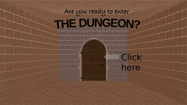
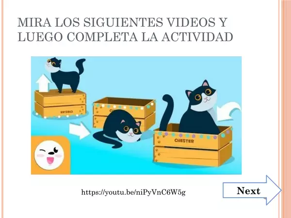
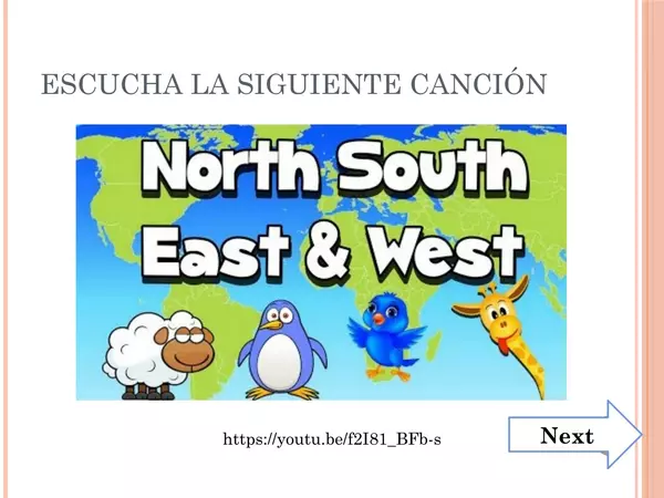
You can use this interactive PowerPoint either for distance learning or for face-to-face ones, especially if you've got a smartboard.
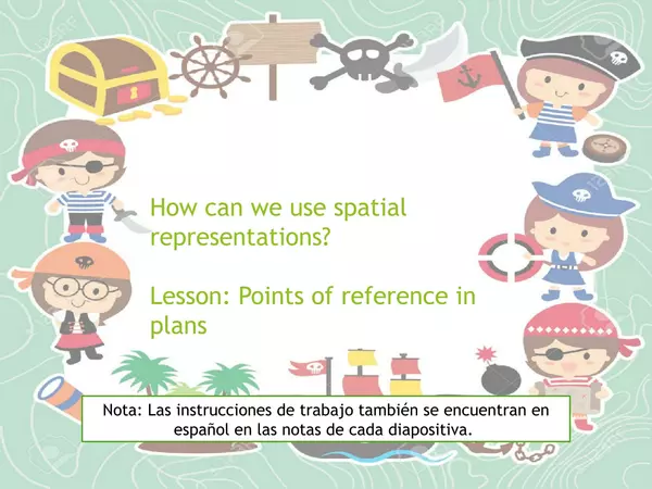
Some of the instructions are in Spanish, as some adults at home may have a hard time with English.
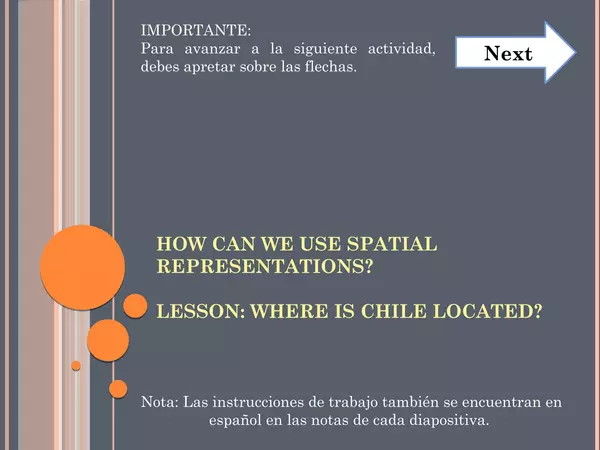
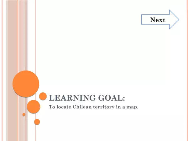
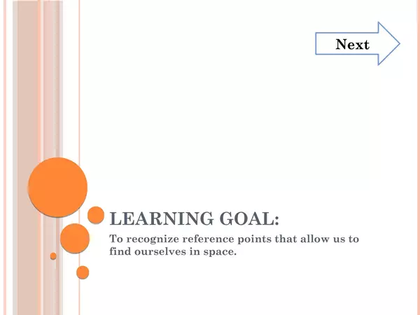
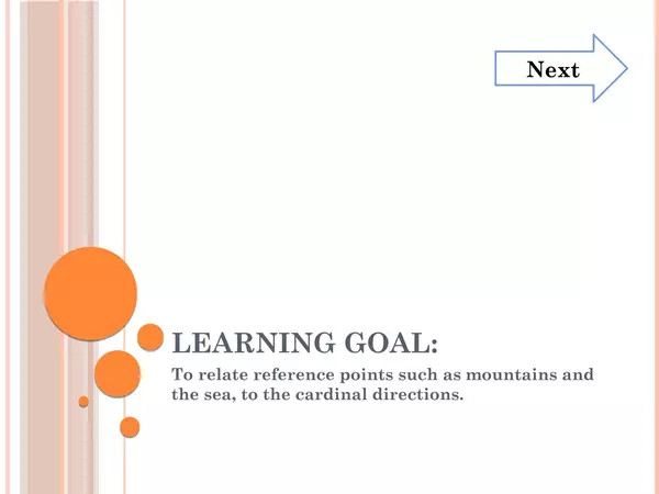
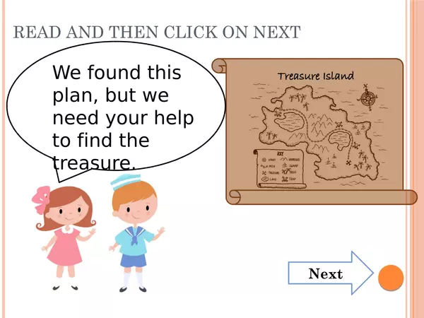
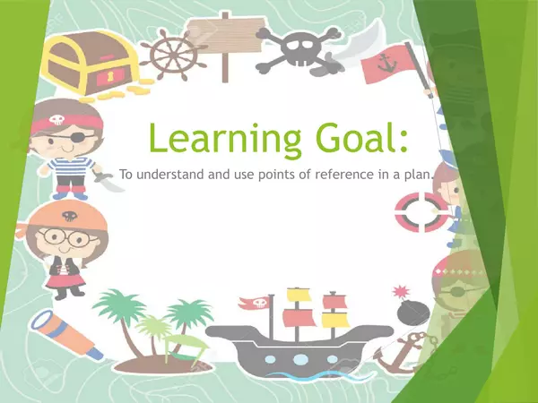
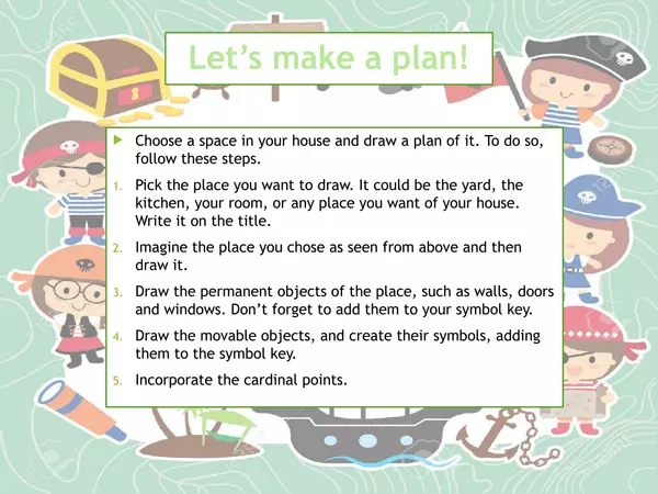
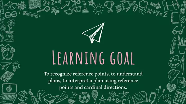
Learning Goal: To locate Chilean territory on a world map and a globe.
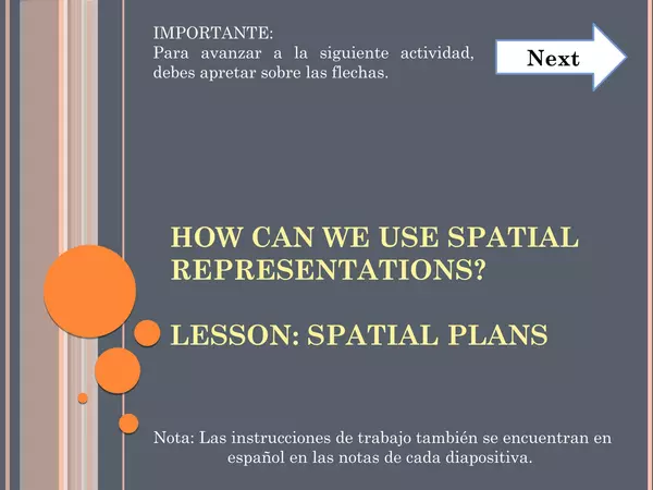
This PowerPoint is the sixth of the series "How can we use spatial representations?"
See the other PowerPoints of the series here:
Some of the instructions are in Spanish, as some adults at home may have a hard time with English.
Learning Goal: To locate Chilean territory on a world map and a globe.
This PowerPoint is the sixth of the series "How can we use spatial representations?"
See the other PowerPoints of the series here:
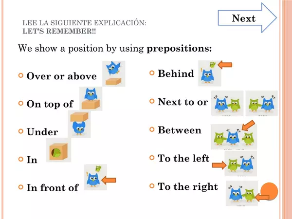
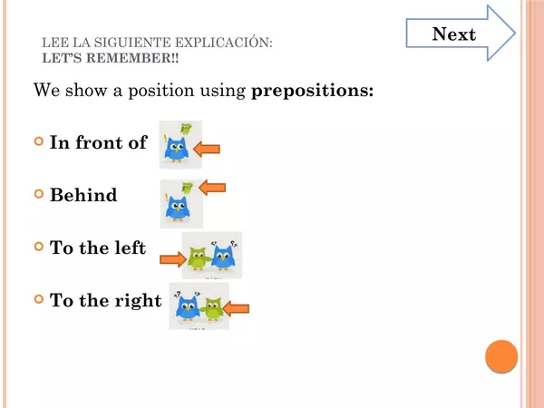
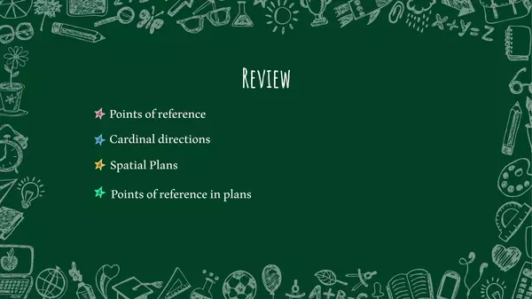
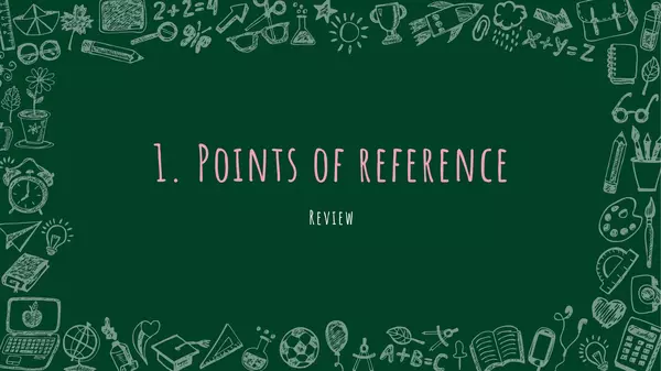
- Points of reference
- Cardinal directions
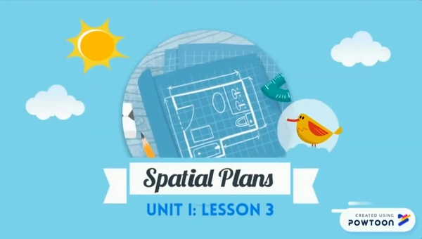
- Spatial Plans
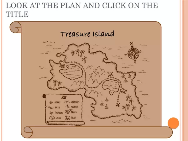
- Points of reference in plans
- How can we use spatial representations? Review
- Where is Chile located (This resource)
This resource greatly works with the book: 2 primary Social Sciences - Savia


There are no comments yet, write one yourself!